Descripción
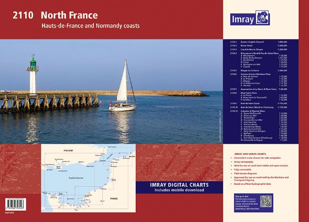
Hauts-de-France and Normandy Coasts
A convenient A2 format chart pack of Hauts-de-France and Normandy coasts provided in a sturdy plastic wallet.
This fully revised edition includes the latest official UKHO, SHOM & Belgium hydrographic data, combined with additional information sourced from Imray»s network to make it ideal for small craft. The chart pack includes all the navigational charts and tidal data for passage, approach and mooring.
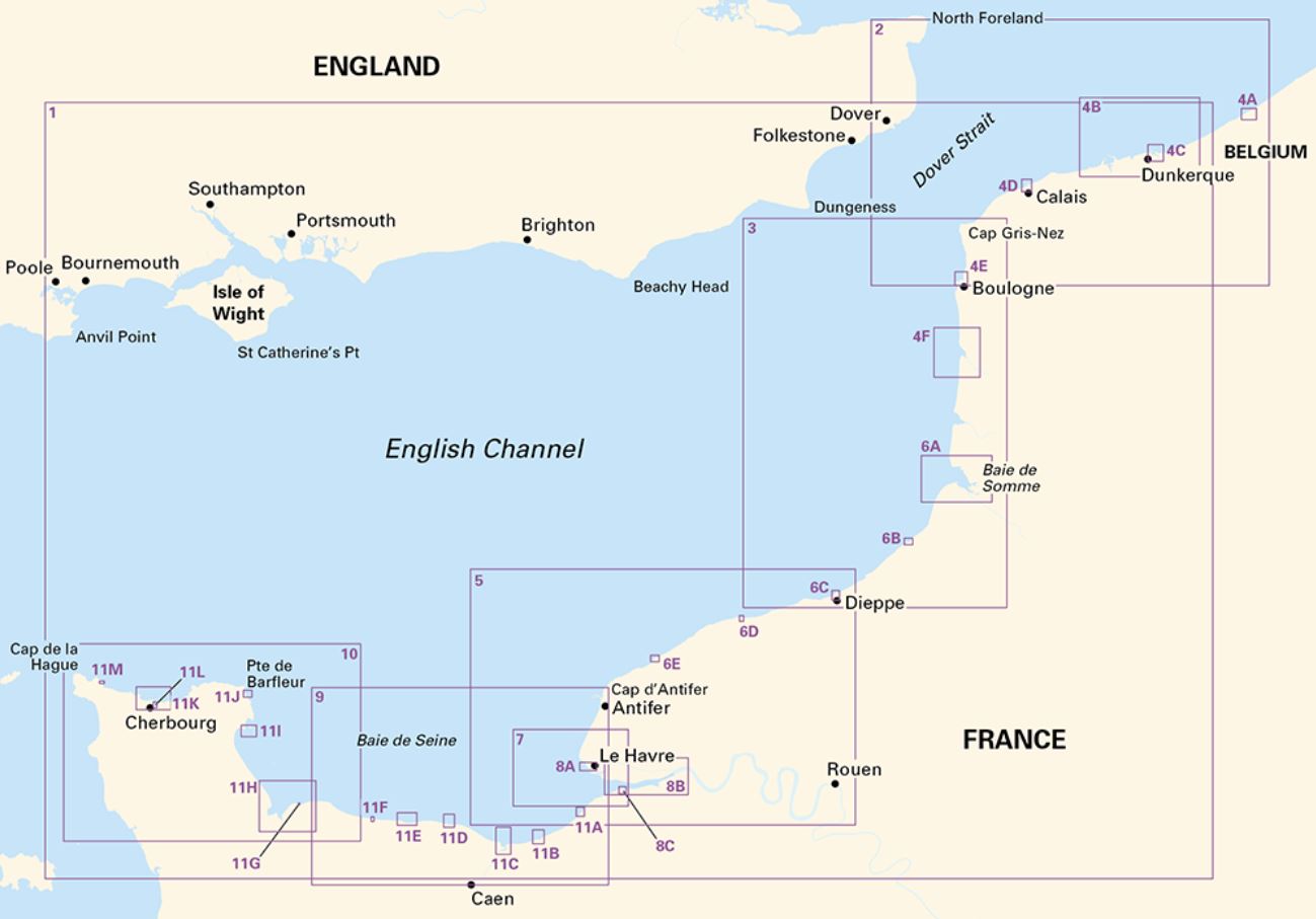
2110.1 Eastern English Channel (1:600 000)
2110.2 Dover Strait (1:200 000)
2110.3 Cap Gris-Nez to Dieppe (1: 200 000)
2110.4 Nieuwpoort, Nord & Pas-de-Calais Plans
Plans: Nieuwpoort (1:30 000), Rade de Dunkerque (1:125 000), Dunkerque (1:25 000), Calais (1:20 000), Boulogne-sur-Mer (1:25 000), Étaples (1:75 000)
2110.5 Dieppe to Le Havre (1:200 000)
2110.6 Somme & Seine-Maritime Plans
Baie de Somme (1:75 000), Le Tréport (1:12 500), Dieppe (1:12 500), St-Valéry-en-Caux (1:12 500), Fécamp (1:12 500)
2110.7 Approaches to Le Havre & River Seine (1:60 000)
2110.8 River Seine Plans
Le Havre (1:12 500), River Seine to Tancarville (1:63 000), Honfleur (1:12 500)
2110.9 Baie de Seine (East) (1:155 000)
2110.10 Baie de Seine (West) to Cherbourg (1:155 000)
2110.11 Calvados & Manche Plans
Deauville/Trouville (1:15 000), Dives-sur-Mer (1:30 000), Ouistreham (1:25 000), Courseulles-sur-Mer (1:20 000), Arromanches (1:35 000), Port-en-Bessin (1:10 000), Grandcamp-Maisy (1:6000), Baie du Grand Vey (1:75 000), Saint-Vaast-La-Hougue (1:20 000), Barfleur (1:15 000), Cherbourg (1:40 000), Port Chantereyne (Cherbourg) (1:10 000), Omonville-la-Rogue (1:7000)
A voucher code to download the relevant Imray digital charts into our Imray Navigator app is included with this chart pack.