
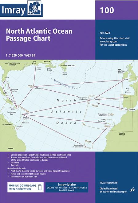
Carta Imray 100 North Atlantic Ocean passage chart
38,95€
Imray.
Scale 1: 7 620 000.
Edition date 2024.
Publication details Sheet size 787 x 1118mm. Waterproof. Folded in plastic wallet or flat.
Hay existencias
Descripción
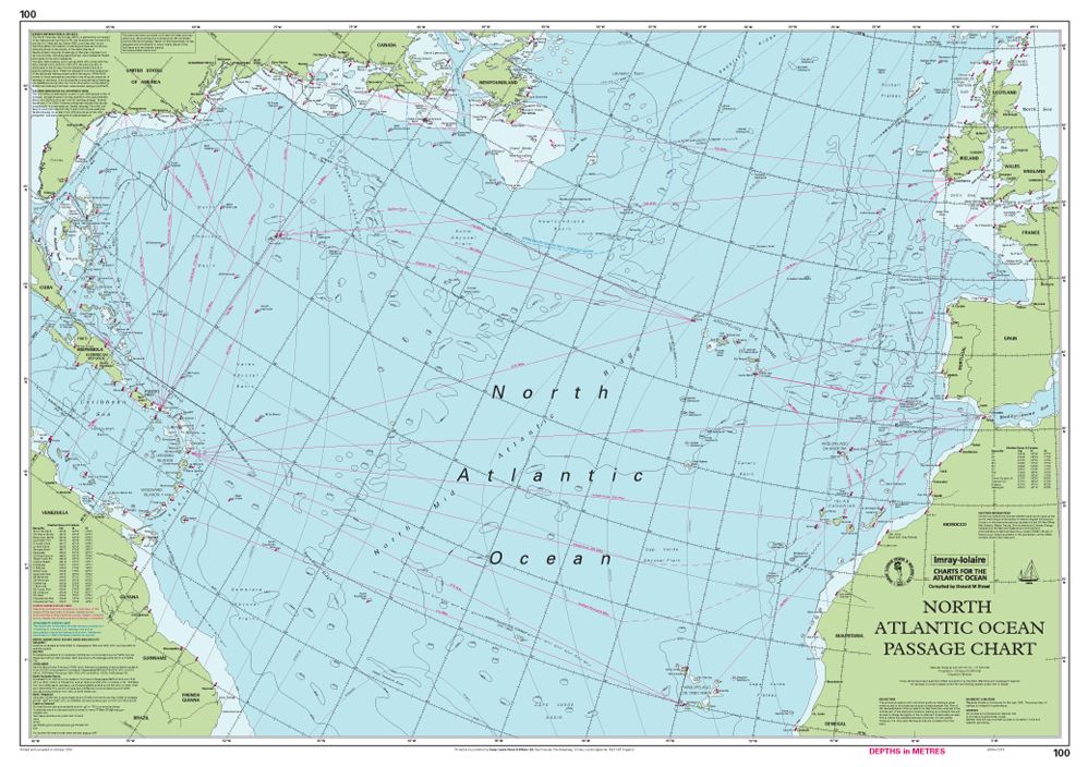
At a scale of 1:7,620,000 this chart covers the North Atlantic from Brazil to Newfoundland and Gibraltar to the Caribbean.
It has been constructed on a conical projection that means that Great Circle tracks can be plotted as straight lines rather than curves.
Chart 100 shows the main trend of depth contours, limits of ice, magnetic variations and keys routes as identified by Donald M. Street Jr.
In the enclosed booklet are pilot charts showing winds, currents and wave height frequencies with accompanying notes on favourable route timings and hurricane risk.
Chart 100 is an important companion for Atlantic yachtsmen on passage and an excellent source of planning information.
For this edition the magnetic variation curves have been replaced by a web link directing sailors to up to date information.
The monthly diagrams indicating meteorological seasonal variations have been changed from March, June, September and December to May, June, November and December.
Productos relacionados


¡Suscríbete a nuestra newsletter!
Recibe en tu email nuestras novedades editoriales, recomendaciones personalizadas, eventos y mucho más.