

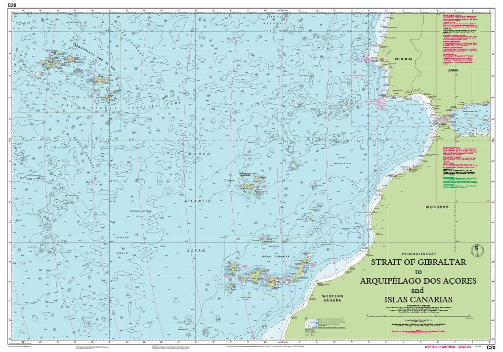
Carta Imray C20 Strait of Gibraltar
39,95€
Edition date 2021.
Printed and corrected to February 2024.
Publication details Sheet size 787 x 1118mm.
Waterproof. Folded in plastic wallet or flat.
Hay existencias
Descripción
Strait of Gibraltar to Arquipélago dos Açores and Islas Canarias
Scale: 1:2,500,000 WGS 84
Imray
A passage chart designed for planning and navigating across the North Atlantic between Gibraltar, the Azores and the Canary Islands.
Based on official Hydrographic Office data with additional information from across Imray’s network, tailored to appropriate scales and level of data for leisure sailors.
Imray’s award-winning cartography includes a familiar, logical colour scheme, coloured light sectors and fine overprinted latitude and longitude grids to make plotting easier.
On this edition the magnetic variation curves have been updated with the latest data. There has been general updating throughout.
Productos relacionados


¡Suscríbete a nuestra newsletter!
Recibe en tu email nuestras novedades editoriales, recomendaciones personalizadas, eventos y mucho más.