
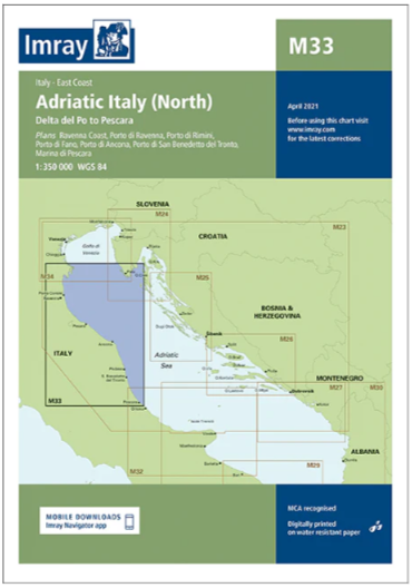
Carta Imray M33 Adriatic Italy (North)
33,50€
Imray.
Escala 1:350.000.
Printed and corrected to April 2023.
Publication details Sheet size 640 x 900mm.
Waterproof. Folded in plastic wallet or flat.
Descripción
Plans included:
Ravenna Coast (1:50 000)
Porto di Ravenna (1:20 000)
Porto di Rimini (1:10 000)
Porto di Fano (1:7500)
Porto di Ancona (1:25 000)
Porto di San Benedetto del Tronto (1:10 000)
Marina di Pescara (1:15 000)
For this 2015 edition the chart has been fully updated throughout showing revised depths where required.
Various harbour developments are shown at Porto di Ravenna, Porto di Rimini, Porto di Ancona and Marina di Pescara.
The plan of Ancona Coast has been removed and replaced with two new harbour plans – Porto di Fano and Porto di San Benedetto del Tronto.
The sketch plan of Pescara has been replaced with a fully georeferenced WGS84-compatible plan.
Productos relacionados


¡Suscríbete a nuestra newsletter!
Recibe en tu email nuestras novedades editoriales, recomendaciones personalizadas, eventos y mucho más.