
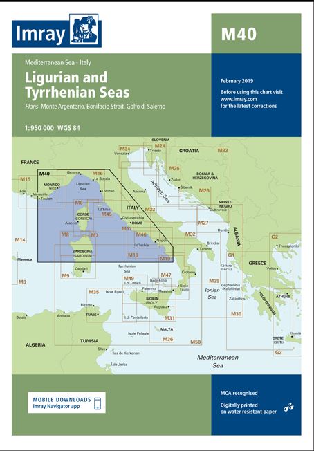
Carta Imray M40 Ligurian and Tyrrhenian Seas
SKU 9781846236167 Categoría Cartas Náuticas IMRAY
33,50€
Scale 1:950000.
Printed and corrected to May 2023.
Publication details Sheet size 640 x 900mm.
Waterproof. Folded in plastic wallet or flat.
Descripción
Scale: 1:950,000 WGS 84
Imray
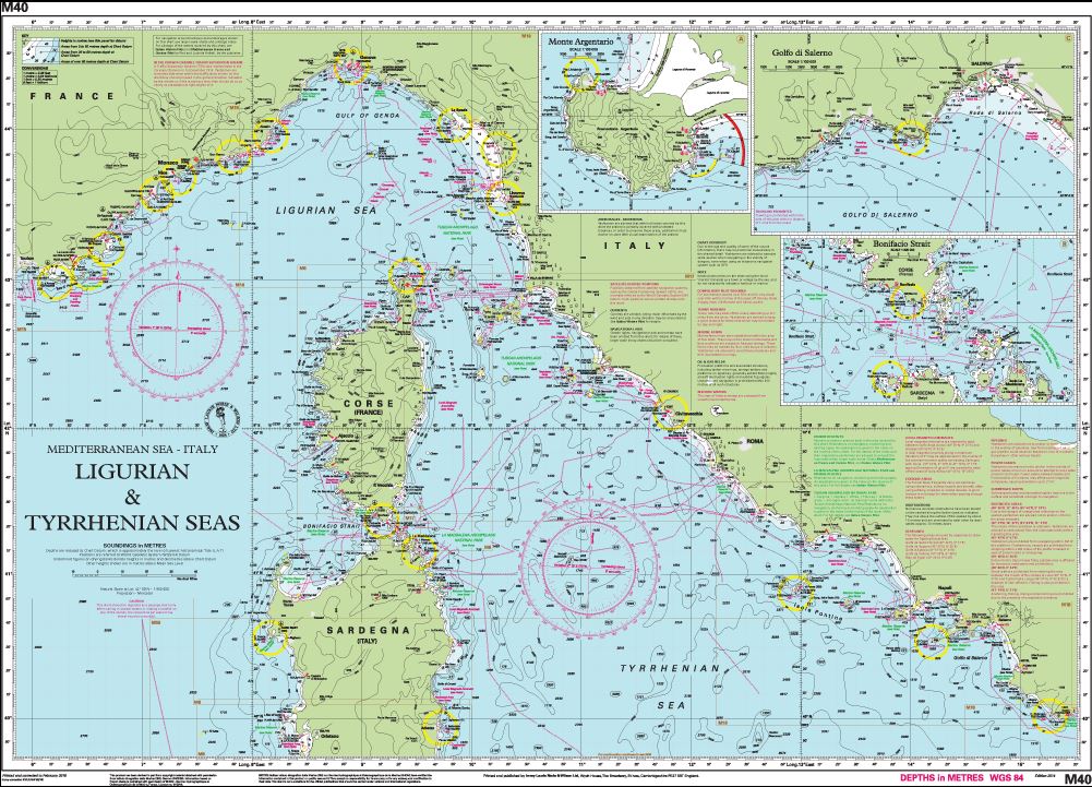
Plans included:
Monte Argentario (1:100 000)
Bonifacio Strait (1:225 000)
Golfo di Salerno (1:100 000)
For this 2014 edition the chart has been fully updated throughout using revised depths where applicable.
The full list of recently deployed AIS transmitters are shown across the chart, as is the new marina in Rada di Salerno.
Productos relacionados


¡Suscríbete a nuestra newsletter!
Recibe en tu email nuestras novedades editoriales, recomendaciones personalizadas, eventos y mucho más.