


Descripción
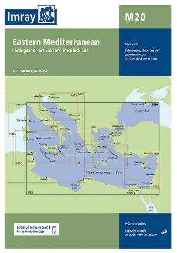
Eastern Mediterranean.
Scale: 1:2.750.000 WGS 84.
A passage planning chart covering Sardegna to Port Said and the Black Sea.
On this edition the magnetic variation curves have been updated with the latest data.
There has been general updating throughout.