
Descripción
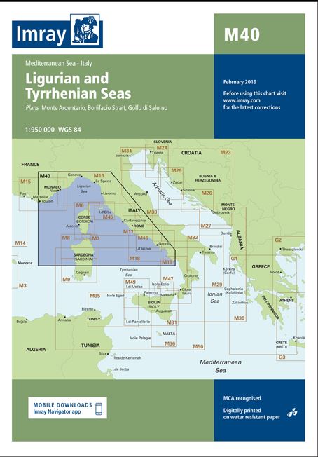
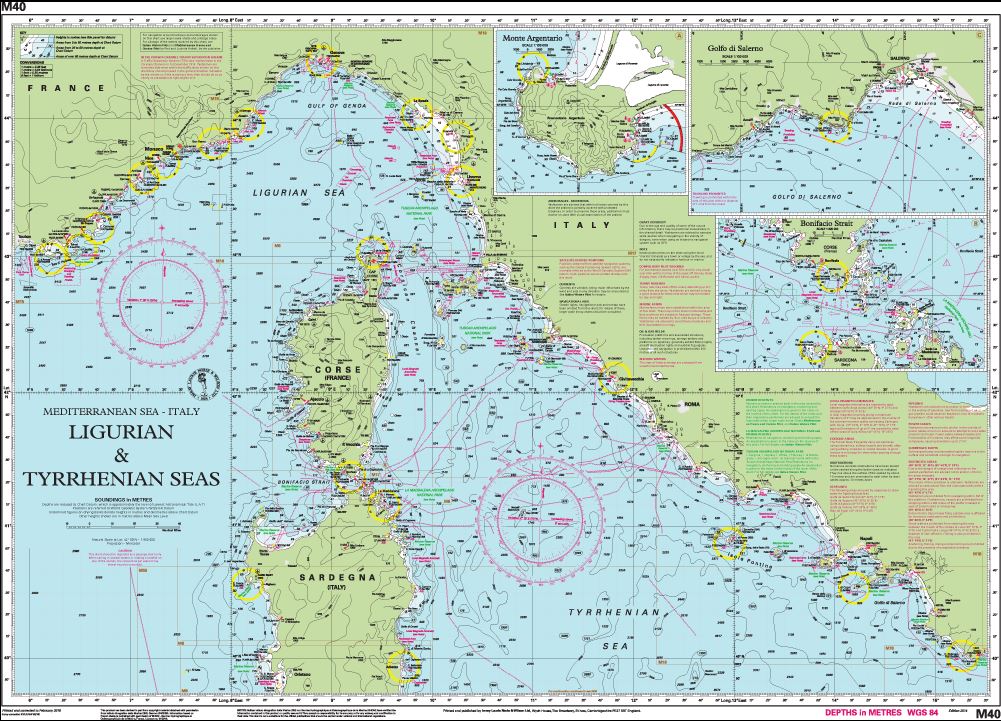
M40 Ligurian and Tyrrhenian Seas
Scale: 1:950,000 WGS 84
Imray
Plans included:
Monte Argentario (1:100 000)
Bonifacio Strait (1:225 000)
Golfo di Salerno (1:100 000)
For this 2014 edition the chart has been fully updated throughout using revised depths where applicable. The full list of recently deployed AIS transmitters are shown across the chart, as is the new marina in Rada di Salerno.